Wondering if Teller County is the right place to park capital for 5 to 10 years and let time do the work? You are not alone. Many small investors look to Colorado’s high country for steady, long-term value, but the details matter more with land than with homes. In this guide, you’ll learn what drives value, where risks hide, what to budget, and how to run due diligence so you can decide with confidence. Let’s dive in.
Teller County at a glance
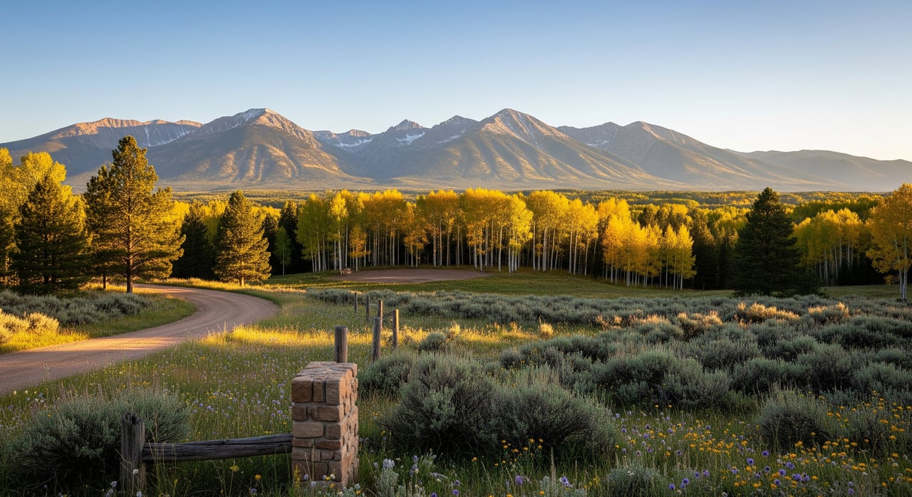
Teller County sits in the mountain foothills just west of Colorado Springs. It is small and low density, with a population of 24,710 at the 2020 Census, according to the U.S. Census QuickFacts for Teller County. That means thin supply and very local micro-markets. Growth in the broader Pikes Peak region influences demand and access over time.
Regional planning helps set the stage for long-term holds. The Pikes Peak Area Council of Governments’ long-range plan outlines growth forecasts and identifies transportation projects that shape accessibility and development economics over decades. When commute times shorten or key corridors see upgrades, nearby land often becomes easier to use and more valuable.
- See Teller County’s population profile in the U.S. Census QuickFacts.
- Review regional growth and corridor planning in PPACG’s 2050 Long Range Transportation Plan.
What moves land value here
Access and infrastructure
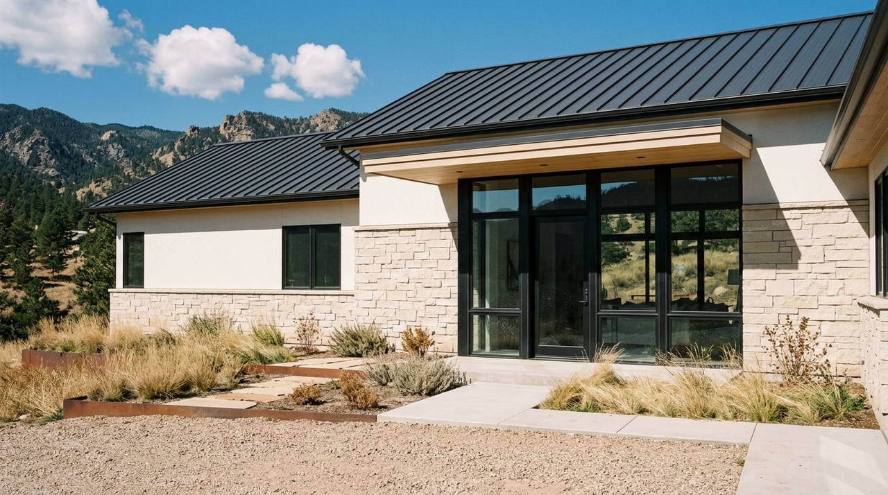
Access is the first filter for value. Parcels near Woodland Park, Divide, and US‑24 with paved routes or short gravel drives tend to command premium prices. Active listings reflect this split, with Woodland Park submarket listings often priced higher per acre than more remote tracts. You can get a feel for current asking prices in premium submarkets by reviewing active listings around Woodland Park.
Listing aggregators also show how wide the spread can be across the county. Active Teller County listings on Land.com point to a median price per acre in the low-to-mid five figures, but that figure varies by parcel type and location. Large ranches or unusual tracts can skew the view, so treat these numbers as signals, not guarantees.
- Scan Woodland Park land listings to see premium submarket pricing patterns.
- Use Land.com’s county overview for rough price-per-acre and days-on-market signals.
Zoning and subdivision rules
Teller County is a zoned county with adopted Land Use Regulations and a zoning map. Lot size minimums, steep-slope rules, subdivision standards, and special review uses all affect your options. A parcel that already fits the allowed uses for a single home or a small number of homes is far easier to monetize than one that needs a zoning change or major subdivision approval.
- Read Teller County’s Land Use Regulations to confirm allowed uses before you buy.
Utilities, wastewater, and wells
Public wastewater service is limited outside towns. The Teller County Wastewater Utility documents an expansion plan, but service areas are specific and not countywide. If a parcel sits outside those areas, you will likely rely on septic.
Water rights and wells are governed by the Colorado Division of Water Resources. Rules differ for exempt domestic wells versus non‑exempt or commercial wells, and Denver Basin permitting has its own requirements. Before committing, confirm whether a well can be permitted at the parcel and what uses will be allowed.
- Check the TCWU expansion page for current and future service areas.
- Review Colorado DWR’s well permitting guidance, including Denver Basin rules.
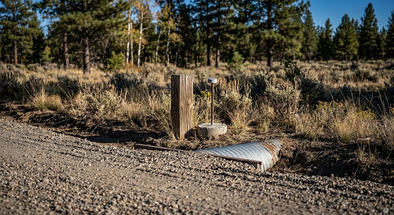
Roads and maintenance reality
Teller County maintains roughly 554 miles of roads, and about 483 miles are gravel. Many roads are not fully hard-surfaced, and winter access can be limited. The county’s Road Maintenance and Improvement Plan shows which segments it maintains and which are limited or private. That affects your ongoing costs and your project timeline.
- Verify access type and maintenance responsibility in the County Road Plan.
Minerals and active mining
Mineral ownership and active mining can influence both use and value. The Cripple Creek & Victor (CC&V) area remains an active mining district, and recent news confirmed ongoing transactions and investment. Near those zones, you should weigh haul traffic, dust, and mineral estate questions alongside price.
- Read local coverage of CC&V’s sale to understand mining’s current footprint and momentum.
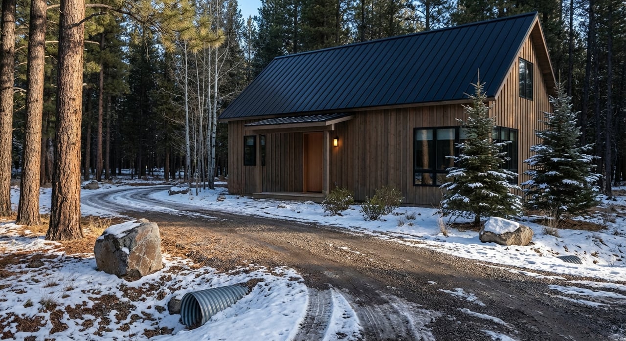
Wildfire and environmental hazards
Wildfire exposure is real across the wildland‑urban interface. Teller County’s Community Wildfire Protection Plan maps priority treatment areas and offers mitigation guidance. Exposure can affect insurance, construction standards, and carrying costs. Parcels with manageable fuels and clear mitigation paths are usually safer bets for long-term holds.
- Use the CWPP to review WUI risk and plan for defensible space.
Price signals and liquidity
You should expect wide variation in price per acre by submarket and by parcel features. Premiums tend to cluster near Woodland Park, Divide, and key commuter routes. Remote mountain or historical mining tracts trade at different levels. Listing sites show longer days on market for vacant land than for homes, and land transactions often take months to years, especially for parcels without easy access or utilities.
Treat public listing data as a snapshot of supply and asking‑price posture, not as an appraisal. For land‑banking, the thesis relies more on access quality, path‑of‑growth indicators from regional planning, and your ability to carry and mitigate risks while you wait.
What to budget for long holds
Carrying costs vary by parcel size, location, and district overlays. Plan for:
- Property taxes and special districts. Tax bills reflect assessed value and the combined mill levies for county, school district, fire, library, and any metro or special districts. Reappraisals can move the number, so pull historical bills from the County Assessor before you buy.
- HOA, metro district, or road assessments. Some subdivisions collect annual fees or special assessments for roads or water and sewer debt service. Check recorded plats and any service plans.
- Road and driveway work. Private or long gravel approaches may need grading, drainage, culverts, or short paving to support future building and year‑round access. Costs scale fast, so get quotes.
- Well drilling and septic. Outside municipal service, these are common one‑time entry costs. Depth, geology, and contractor demand all matter, so request well logs, septic histories, and written estimates.
- Insurance and fuel mitigation. WUI parcels often require brush thinning, tree work, and ongoing maintenance. Budget for periodic clean‑up and basic site security if you do not live nearby.
Due diligence checklist before you buy
Run these steps in order and in writing. They will protect your hold thesis and your exit options.
- Confirm legal access and maintenance
- Get a recorded access easement. Verify if the approach is a county right‑of‑way or private. Cross‑check the Road Maintenance and Improvement Plan for maintenance status.
- Check zoning and allowed uses
- Pull the Land Use Regulations and zoning map. Confirm whether your future use fits by right or needs special review.
- Map utilities and wastewater options
- Contact the Wastewater Utility for service maps. If outside service, obtain a septic feasibility opinion and confirm well permitability with the DWR.
- Investigate mineral estate and nearby mining
- Request a mineral estate notice, review title for severed minerals, and assess proximity to active or planned mining operations.
- Review wildfire and environmental exposure
- Study the CWPP, consider fuel conditions on site, and talk with your insurer about coverage and mitigation requirements.
- Verify taxes and special districts
- Pull the parcel’s assessed value and the relevant mill levy table. Identify any metro district bond obligations that could affect future costs.
- Order full title and survey support
- Ask for a complete title search for easements, covenants, and liens. Hire a surveyor to confirm corners, slopes, and potential building sites.
- Get contractor pricing before closing
- Obtain written estimates for road work, well drilling, septic, tree mitigation, and basic site improvements.
- Set your exit plan and window
- Decide whether you will be a long‑term passive holder, a buy‑and‑improve owner for a single dwelling, or a medium‑term seller to a developer. Your plan sets your budget and risk posture.
Relevant resources:
- County access and road status: Teller County Road Maintenance and Improvement Plan.
- Zoning and uses: Teller County Land Use Regulations.
- Wastewater service areas: TCWU expansion page.
- Well permitting: Colorado DWR guidance.
- Wildfire exposure: Teller County CWPP.
- Market signals: Land.com county overview and Woodland Park listings.
Investor profiles: when it fits, when it does not
When Teller County is a fit
- You prioritize parcels with recorded access and short, reliable approaches to US‑24 or towns like Woodland Park and Divide.
- You have a clear path to water and wastewater, whether through service areas, a likely well permit, or septic feasibility.
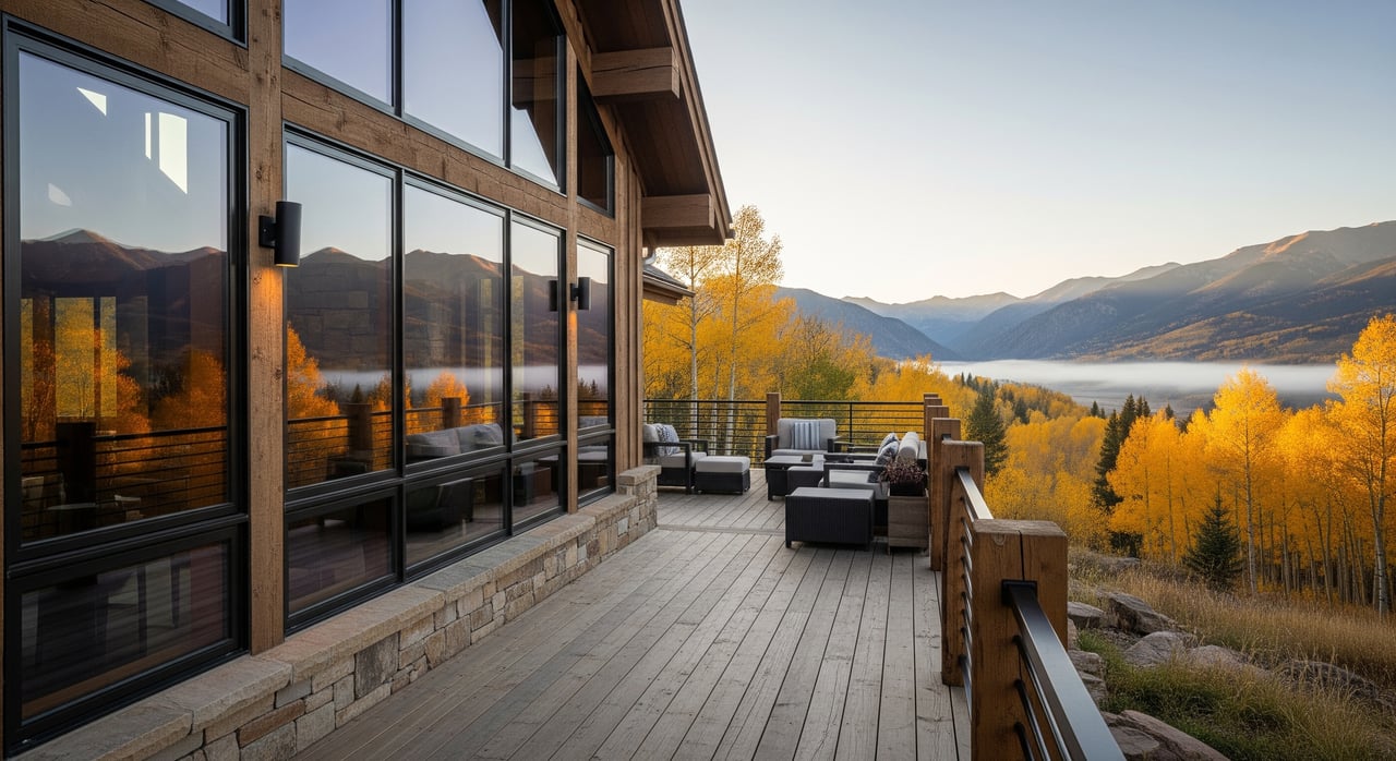
- You value wooded, scenic parcels but choose ones with manageable wildfire risk and affordable mitigation.
- You can hold for 3 to 10 years and accept slower liquidity for raw land.
Red flags for speculative holds
- No legal access, or gated private roads with unclear maintenance.
- Severed mineral rights or proximity to active mining that limits future use.
- High WUI priority zones without practical mitigation options.
- Isolated plateaus or basins with uncertain well prospects or restrictive groundwater rules.
Timeline expectations and exit planning
Vacant land in Teller County usually takes longer to sell than improved homes. Expect multi‑month to multi‑year marketing windows, especially if you are not close to paved routes or utilities. That is normal for thin rural markets and should be part of your underwriting.
Set your exit strategy early:
- Long‑term passive hold. Keep carrying costs low, mitigate fuels, and monitor regional planning and permit trends.
- Buy‑to‑improve one homesite. Invest in access, well, and septic to de‑risk the parcel, then hold or sell.
- Medium‑term sell to a builder or end user. Package the parcel with clean title, survey, utility feasibility, and access clarity to shorten marketing time.
Local help that shortens the learning curve
You do not have to guess your way through rural due diligence. A valuation‑first approach, local contractor contacts, and experience with off‑grid issues can save you months and thousands of dollars. If you want an appraisal‑backed pricing opinion, auction options for faster price discovery, or buyer representation for a land‑banking purchase, reach out to Rocky Mountain RLA. To talk through your goals and get market‑specific next steps, connect with Danni Gunn. Request a Free Property Valuation & Consultation.
FAQs
Is Teller County good for passive land‑banking?
- Yes, if you pick parcels with recorded access, clear water and wastewater paths, and manageable wildfire exposure, and if you can hold for 3 to 10 years.
How do water rights and well rules affect buildability?
- Colorado DWR controls well permitting, and allowed uses vary by well type and basin, so confirm permitability and use limits before you buy.
Which areas tend to command higher price per acre?
- Parcels near Woodland Park, Divide, and US‑24 with easier access and utilities often list higher per acre than remote or historical mining tracts.
How long does it take to sell vacant land in Teller County?
- Expect longer timelines than homes, often many months or more, especially for remote parcels or those without utilities or legal access.
What should I check about roads and access before closing?
- Verify recorded legal access, confirm if the approach is county‑maintained or private, and budget for any required grading, drainage, or driveway work.